News
-
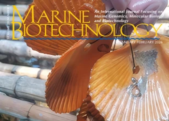
Groundbreaking study as part of GENEMARE
-
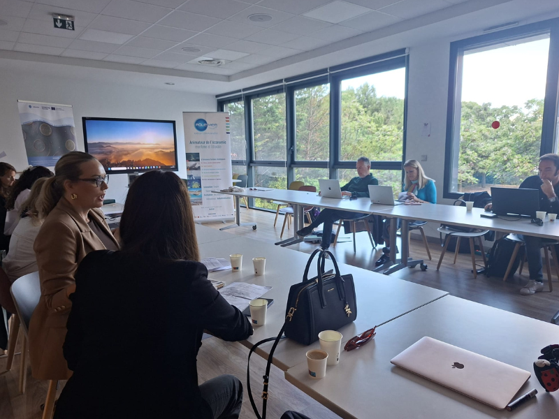
Project partners gather in Montpellier
-
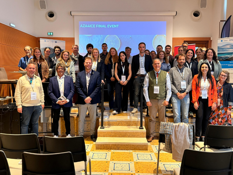
Final event of the AZA4ICE project in France
Select a area
- Atlantic
- Mainland and Islands
- Iberic Peninsula
- Viana do Castelo and Leixões
- Aveiro and Figueira da Foz
- Nazaré and Peniche
- Lisboa and Setúbal
- Sines
- Portimão
- Faro
- Madeira and Selvagens
- Madeira
- Selvagens
- Azores
- Ocidental group
- Central group
- Oriental group
Other fields
Related information
Ocean forecast model NEMO (http://www.nemo-ocean.eu/) developed by the consortium CMCC, CNRS, INGV, Mercator Ocean, NERC-Met Office.


-
Lisboa:
UTC:
Copyright © Portuguese Institute for Sea and Atmosphere 2026
-
