News
-
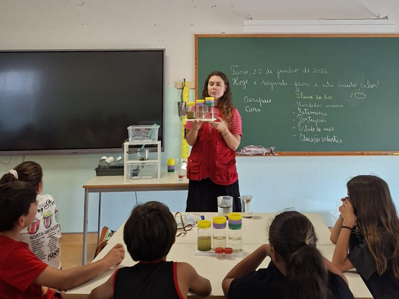
Primary school students
-
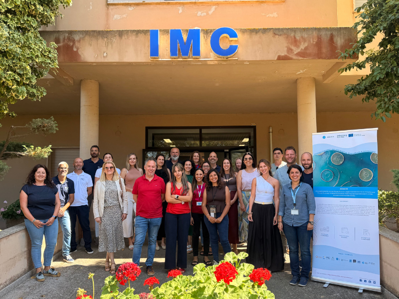
AZA4ICE Project
-
Groundbreaking study as part of GENEMARE

ALADIN
ALADIN is a numerical weather prediction limited area model (over a specific region of Earth) developed from code ARPEGE/FIS by several numerical prediction groups in Europe and Northern Africa, through the International Project ALADIN, under co-ordination of Météo-France. The ALADIN model was designed to yield predictions up to 48-72 hours ahead with horizontal resolutions between 7 km and 15 km. Thus, ALADIN is more adequate to predict mesoscale-beta phenomena (spatial scales from 20 to 200 km and time scales from 30 minutes to 6 hours), such as breeze winds, mountain winds (anabatic and catabatic winds) and convective phenomena (which can cause showers and/or thunderstorms).
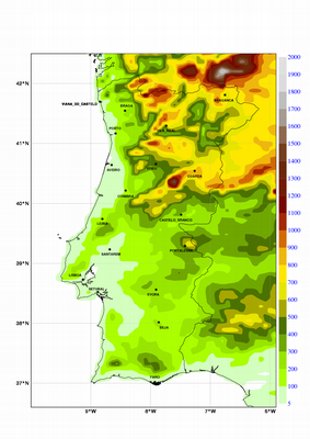
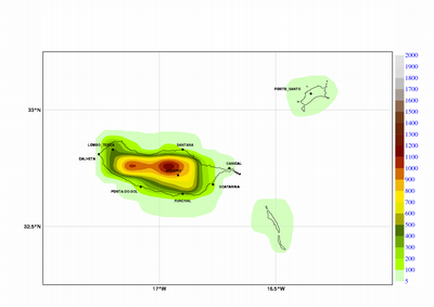
In Portugal, The operational version of ALADIN is performed at a DEC Alpha, with a 48 hours integration period, over a geographic area of approximately 1050 km by 1050 km (figure below) with 31 vertical levels and 12.7 km horizontal resolution.
Horizontal its on essentially depends orography model the of detail.
Main surface parameters: pressure at the surface (ground level), air pressure at mean sea level, air temperature and relative humidity at 2 m, zonal and meridional wind at 10 m, total cloudiness, convective precipitation and large scale precipitation.
Altitude parameters:geopotential, temperature, zonal wind, meridional wind, vertical velocity, relative humidity.
| ALADIN orografy | |
|---|---|
 |
 |
 |
|

-
Lisboa:
UTC:
Copyright © Portuguese Institute for Sea and Atmosphere 2026
-
