News
-
Groundbreaking study as part of GENEMARE
-
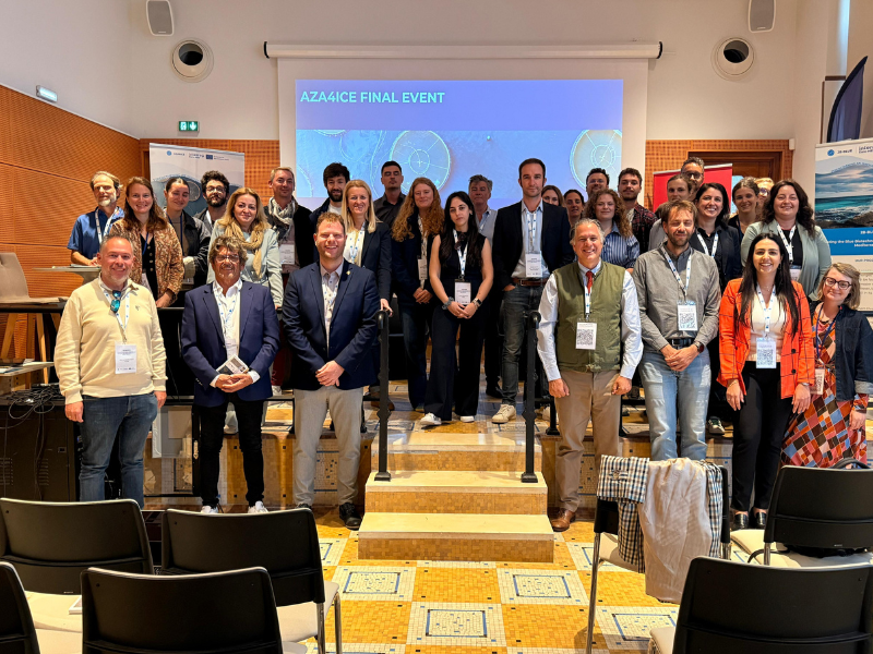
Project partners gather in Montpellier
-
Final event of the AZA4ICE project in France

AROME
AROME - a high resolution limited-area numerical weather prediction model - is one of the canonical configurations of the ALADIN system [1] which was developped and maintained by Portugal in partnership with the National Weather Services of Europe and North of Africa, under the framework of the Consortium ALADIN [2], nowadays encompassed by the new Consortium ACCORD [3].
This model is non-hydrostatic and was built from the dynamic core of the model ALADIN and the physical parameterization package of the French research model Meso-NH.
The operational version of AROME uses the forecasts of the operational ARPEGE model as the initial and boundary conditions. AROME runs locally with 2.5 km of horizontal resolution and 60 vertical model levels, for a 48 hours forecast range, in the following domains:
- Azores: from 35.73ºN to 40.85ºN in latitude, and 24.08ºW to 33.08ºW in longitude
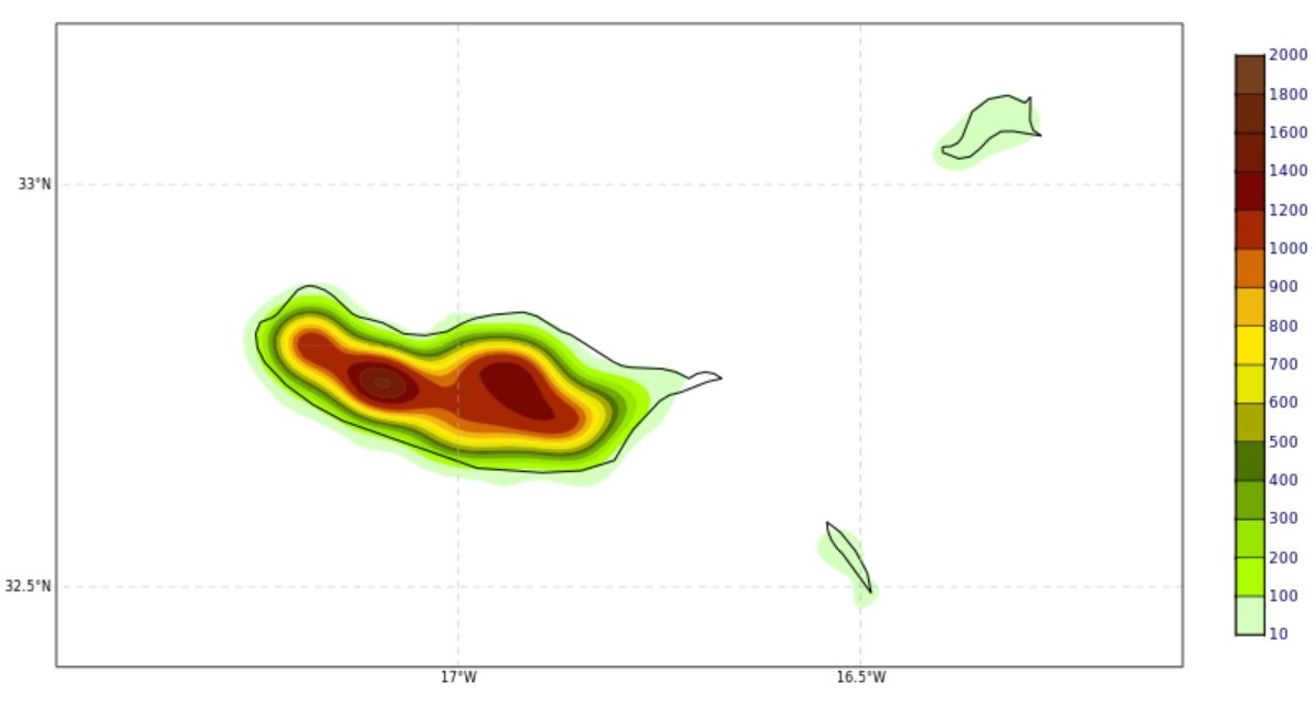
- Madeira: from 31ºN to 34.74ºN in latitude, and 14.8ºW to 18.98ºW in longitude
- Iberian Peninsula: from 34.01ºN to 44.79ºN in latitude, and 1.21ºW to 12.79ºW in longitude
The figures below show the model's orography for the Azores, Madeira and the Iberian Peninsula.
| Orography in the AROME domains | |
|---|---|
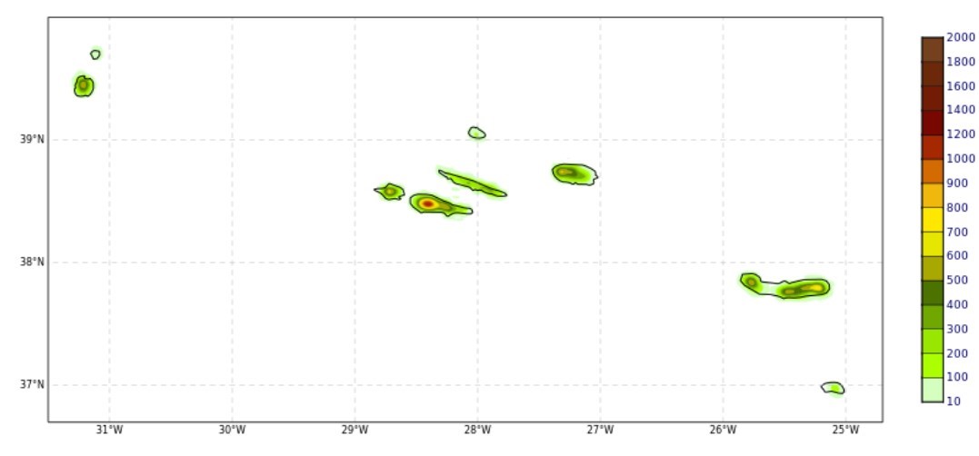 Orography AROME Açores |
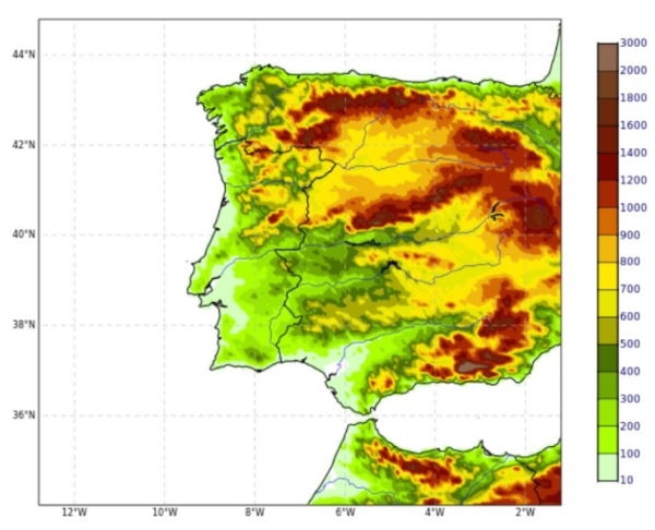 Orography AROME Península Ibérica |
 Orography AROME Madeira |
|
[1] Termonia, P., Fischer, C., Bazile, E., Bouyssel, F., Brožková, R., Bénard, P., Bochenek, B., Degrauwe, D., Derková, M., El Khatib, R., Hamdi, R., Mašek, J., Pottier, P., Pristov, N., Seity, Y., Smolíková, P., Španiel, O., Tudor, M., Wang, Y., Wittmann, C., and Joly, A.: The ALADIN System and its canonical model configurations AROME CY41T1 and ALARO CY40T1, Geosci. Model Dev., 11, 257–281, https://doi.org/10.5194/gmd-11-257-2018, 2018.
[2] http://www.umr-cnrm.fr/aladin
[3] http://www.umr-cnrm.fr/accord

-
Lisboa:
UTC:
Copyright © Portuguese Institute for Sea and Atmosphere 2026
-
