News
-
Primary school students
-
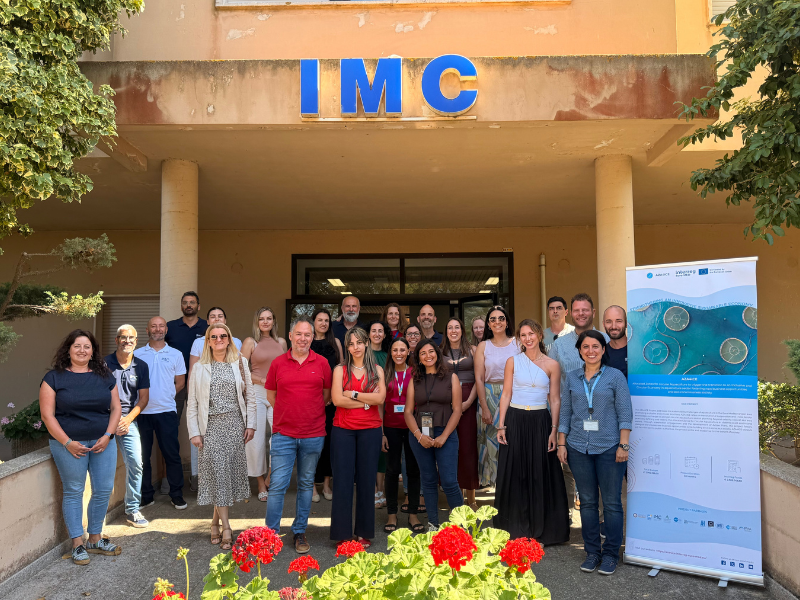
AZA4ICE Project
-
Groundbreaking study as part of GENEMARE


Automatic Meteorological stations
EMAs | Radiosounding
Automatic Meteorological stations
The national network of automatic weather stations surface (EMA) is in operation since June 2002 with 93 EMA (78 in the mainland, 9 in the Azores archipelago and 6 in the archipelago of Madeira), which record of 10 10min meteorological elements in the main and prepare for an automatic messages in code form that is sent to the hourly scale for the seat of IPMA and broadcast internationally.
This network gives real-time weather data needed to forecast of the weather coverage with an adequate space (about 1000 km2/estação) for monitoring weather and synoptic scale mesoscala and climatological studies, including use in available energy (solar , Wind and water) and support studies in micro-climate, serving as host of reference for networks of weather stations in small periods of exploration.

-
Lisboa:
UTC:
Copyright © Portuguese Institute for Sea and Atmosphere 2026
-
