News
-
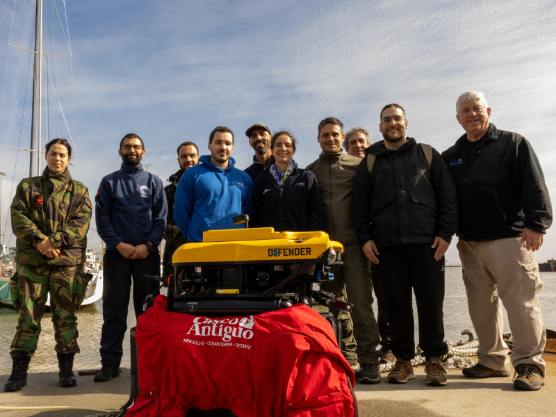
AZA4ICE Project 4th Meeting
-
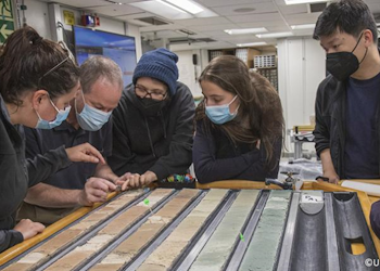
Abrupt Climate Change in the Quaternary Period
-
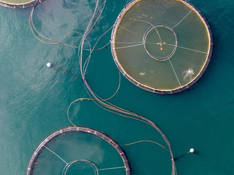
IPMA strengthens operational capacity
Responsability Areas in the North Atlantic
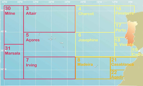
In 1973, norms in the scope of Global Marine Distress Safety System (GMDSS) are established, that contain the weather report for the sea. Recognizing the necessity to optimize, automate and issue (broadcast) this information, World Meteorological Organization (WMO) created the Oceans and the Seas responsibility areas (METAREAS), for which it nominated a National Meteorological Service (NMS) as coordinating. The assignments of the sub-areas of each METAREA come from the topographical characteristics of the oceanic regions (abyssal submarines mounts and fosses) or of the bordering coastal place.

-
Lisboa:
UTC:
Copyright © Portuguese Institute for Sea and Atmosphere 2026
-
