News
-
Groundbreaking study as part of GENEMARE
-
Project partners gather in Montpellier
-
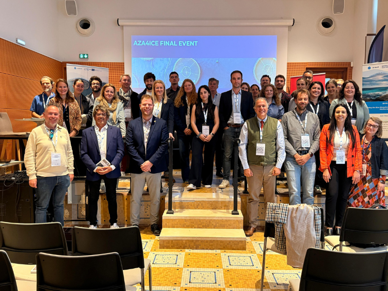
Final event of the AZA4ICE project in France


Sea state conditions
The conditions of the state of the sea on the beaches are determined by physical phenomena that depend on local characteristics.
The parameters of sea waves come from the High RESolution WAve Model (HRES-WAM), global model with a spatial resolution of 0.125° from ECMWF (European Centre for Medium-range Weather Forecasts) and correspond to the prediction of the model grid point closest to the beach considered, providing forecasts of sea waves (significant wave height, swell, direction medium wave, medium wave period, wave, and temperature of sea water), as well as wind and wind direction at the surface, up to 5 days (H +120), updated daily.
The Institute provides these products to support shipping, coastal activities, water sports, activities, recreation and tourism; these can be developed to anywhere near the coast to the needs of the user.

-
Lisboa:
UTC:
Copyright © Portuguese Institute for Sea and Atmosphere 2026
-
